
Programme overview
Studying a double major in the Bachelor of Applied Science means you get a wide range of course options in animal behaviour and welfare and biodiversity management.
Animal Behaviour and Welfare
Animal behaviour and welfare is a rapidly growing field of study and work. This unique programme will prepare you with the applied knowledge and skills you need to be successful in a wide range of emerging animal management and welfare careers.
This programme addresses the demand for ethical professionals in industries and organisations associated with the behaviour and care of animals. You’ll develop an understanding of animal behaviour modification, health and welfare, handling and husbandry, conservation, and human/animal interactions.
Biodiversity Management
You’ll explore how ecosystems function and support biological diversity and how biodiversity managers (including government agencies, non-statutory organisations, and voluntary bodies) are responding to increasing concern over the impact of human activities on the world.
Find out how society views and influences the natural environment, discover how social, cultural, and policy frameworks influence management decisions, and develop your knowledge and skills related to plant identification.
Programme highlights
- A holistic approach that combines theoretical knowledge with practical experience in simulated and real-world situations;
- Visits to relevant environmental and/or animal-related organisations and voluntary groups; you may even be able to undertake part of your studies at one of their sites;
- An opportunity to complete a research project in an area of your interest to develop the skills you’ll need for a career in your chosen field;
- A teaching team of highly qualified and experienced animal behaviour experts, animal trainers, scientists, veterinarians, botanists, ornithologists, and ecologists;
- In Biodiversity Management, we’ll help you develop your knowledge and confidence in plant identification, one of our biggest strengths and an essential skill in the conservation industry.
Please note: There is a chance this programme will take an extra semester, depending on the timetables of the individual courses you select. This can be discussed during the application process.
Where from here
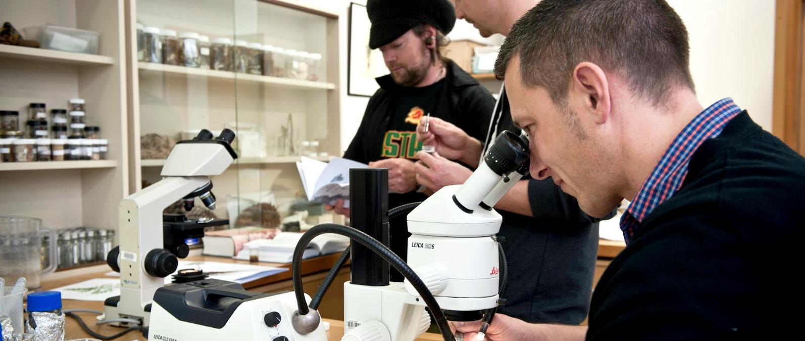
The Herbarium
With a collection of 11,500 scientifically preserved plants, fungi, lichens and seaweeds, the Herbarium is where you’ll learn about plant specimen collection and preparation techniques.
Lots of important research work happens in the Herbarium including investigations into invasive and native plants and fungi, as well as the studies of an active lichen research group.
There’s also the opportunity to volunteer to assist with accessioning and curation.

The GIS Laboratory
Where science meets tech, the GIS Laboratory has 40 workstations complete with industry standard ArcGIS and associated software.
Running on high-performance Graphics Processing Units on Virtual Device Interfaces, with large 24-inch monitors, these computers can run realistic 3D modelling, spatial analysis, image rendering, and other computing intensive tasks.

Applied Molecular Solutions Laboratory
If you’re interested in the genetics of animals, plants and fungi, this lab is fully equipped for DNA extraction and analysis.
Second year Bachelor of Applied Science students gain first-hand experience in the lab, and in their third year if they take on a research project that utilises molecular techniques, this lab will become their second home.
Some cool research projects currently on the go include DNA barcoding of possible biological control agents, bioremediation of contaminated soils, and the molecular analysis of seabird diets.
Admission requirements
What you will need to study this programme.
Domestic students
International students
Academic requirements
As a part of this requirement, you must be at least 16 years of age and meet the below;
- All applicants must be at least 16 years of age when they begin their studies, and they should meet the country-specific admission requirement;
And English entry requirements;
If English is not your first language, you will also need at least one of the following qualifications:
- Evidence of an IELTS (Academic) band score of at least 6 with no band score lower than 5.5
- University Entrance Literacy: 8 credits at Level 2 or above in English or Māori (4 in Reading, 4 in Writing); or
- Evidence of English language proficiency as outlined in the NZQA Rules on the Unitec English Language Requirements for International Students Web-page.
Don’t meet these Academic requirements?
- If you don’t meet the academic criteria, our Bridging Education Programmes can help you qualify. Apply online, and we’ll discuss your next steps.
- If you don’t meet the above criteria, special or discretionary admission may apply; your eligibility will be determined at the interview.
For more information, download the programme regulations (PDF 493 KB)
Courses and timetables
For more details on the courses including timetables, please click on the course names below.
Debug
| Courses | Credits | Aim |
|---|---|---|
| Diversity of Life: Plants and Fungi(NSCI5101) | 15.0 credits (0.125 EFTS) | To develop an understanding of the basis of classification of plants, fungi and protists and their underlying structure and function. |
| Diversity of Life: Animals(NSCI5103) | 15.0 credits (0.125 EFTS) | To develop an understanding of the basis of the taxonomic classification of the major animal groups, their phylogenetic relationships and how different animal forms have adapted to different ways of living. |
| Principles of Biology(NSCI5104) | 15.0 credits (0.125 EFTS) | To develop an understanding of the underlying chemical and physical processes which serve to promote and enable order in biological systems. |
| Introduction to Animal Behaviour and Welfare(NSCI5702) | 15.0 credits (0.125 EFTS) | To promote an understanding of the basic principles of animal behaviour and welfare as it applies to a range of animal species. |
| Earth Processes(NSCI5730) | 15.0 credits (0.125 EFTS) | To provide a scientific understanding of physical and chemical processes and their interactions which are essential to life on Earth. |
| Principles of Ecology(NSCI5731) | 15.0 credits (0.125 EFTS) | To develop an understanding of the interactions that occur between organisms and their environment. |
| Contemporary Issues in Biology(NSCI5734) | 15.0 credits (0.125 EFTS) | To enable students to research contemporary issues in biological sciences and thereby facilitate the acquisition of fundamental academic skills that support studies in the Bachelor of Applied Science. |
| Science and Society(NSCI5735) | 15.0 credits (0.125 EFTS) | To explore ways in which Science and human society have developed and interacted throughout history; to equip students with an appreciation that science takes place within a broad cultural framework and to recognise the validity of differing points of view. |
| Principles of Animal Husbandry(NSCI5738) | 15.0 credits (0.125 EFTS) | To enable the student to develop an understanding of the theoretical basis and application of animal husbandry in a range of animal species. |
| Techniques in Field Biology(NSCI5740) | 15.0 credits (0.125 EFTS) | To provide an introduction to a range of techniques used in field biology for the scientific identification and sampling of animals and plants. |
